Dominica is roughly 47 km long and 26 km wide, but the mountains make journeys slower than the map suggests. A drive between Roseau and Portsmouth takes about 45 minutes on the main highway; the interior and the east coast take longer. Use these regions to decide where to spend your nights.
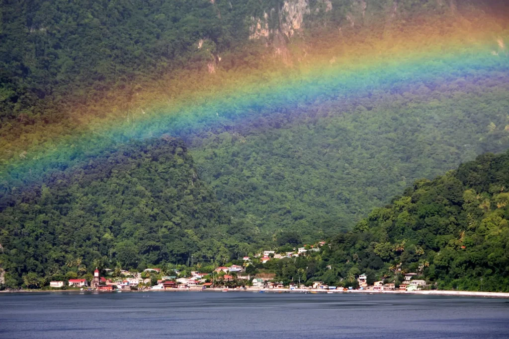
Roseau and the south
Roseau is the capital and the island's main port, with a population of 14,725 at the 2011 census. It has a market, old stone buildings and the botanic gardens. South of the city, the coast road passes Soufrière Bay and ends at Scotts Head, a peninsula and the starting point of the Waitukubuli National Trail.
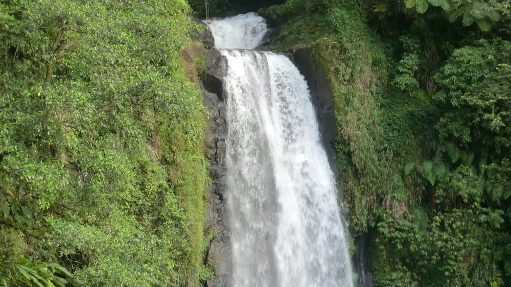
Roseau Valley and the park
Inland from Roseau, the valley climbs through Trafalgar and Wotten Waven, a village known for its hot springs, towards Laudat and Morne Trois Pitons National Park, a UNESCO World Heritage Site since 1997. Boeri Lake, Freshwater Lake, the Boiling Lake trail, Titou Gorge and Emerald Pool are all in this high, cool, often misty area.
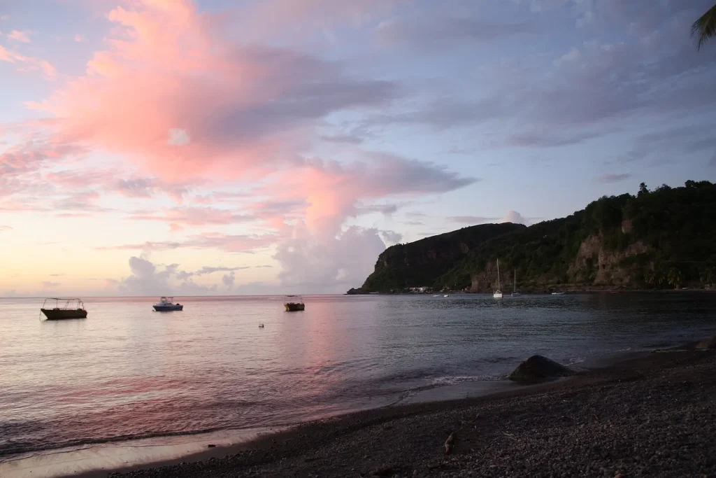
The west coast
The Caribbean side is calm and sheltered, with grey and black volcanic sand, small bays and the whale-watching boats. Sunsets from the beaches near Batalie Bay are the reward for a day on the trails.
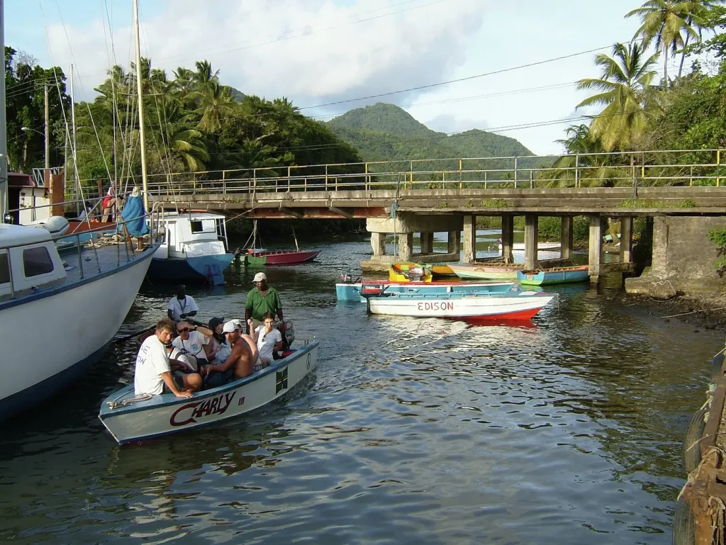
Portsmouth and the north
Portsmouth, the island's second town, wraps around Prince Rupert Bay and is the gateway to the Indian River boat trip and Cabrits National Park. The north also holds the Morne Diablotin National Park, home to the island's highest peak at 1,447 m and to Sisserou habitat.
The Atlantic east coast
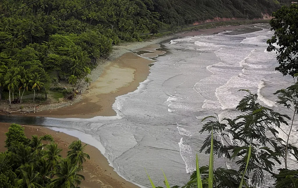
The east is wilder and windier, with surf-edged bays such as Pagua Bay and Number One Beach near Calibishie. It is also home to the Kalinago Territory, a district of about 15 km² established for the island's Indigenous Kalinago people. Visit with respect: arrange tours through community-run services where you can.
Not sure where to base yourself?
The stay guide covers the trade-offs between the capital, the valley and the north.